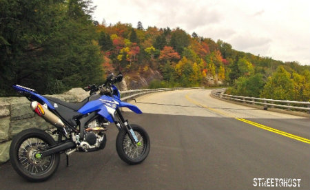
Pete and I logged a lot of miles today. I heard on Adventure Rider that locals were trying to get War Loop closed off so we wanted to ride this part of the TAT before someone puts up a gate. The road does get very rough, but not nearly as bad as all the TAT RRs say it is. I guess that because they are riding Pigs and not the R². Our bikes ate it up and had us looking for something more challenging.
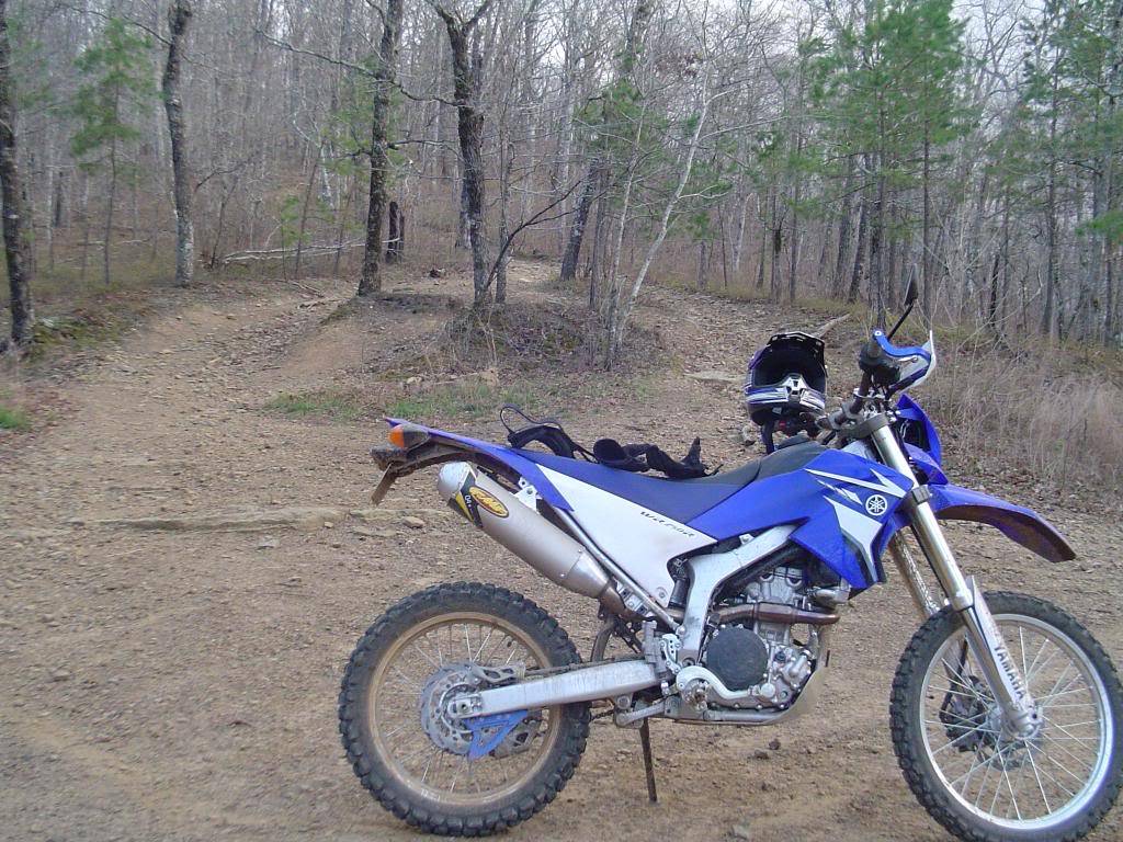
Shiny clean bikes and a warm sunny day...
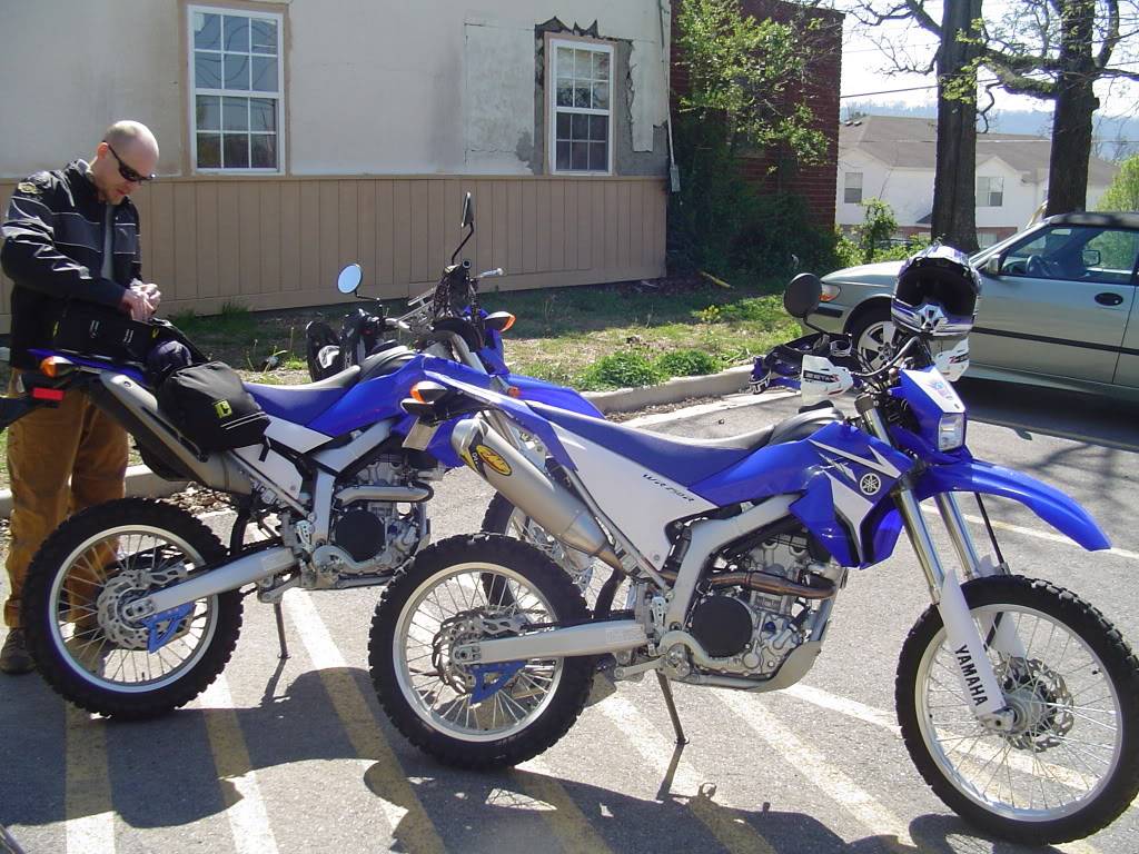
Down a short stretch of slab and we arrive at the Western end of War Loop. It is most commonly traveled from East to West by folks on the Tran-Am Trail, but we are doing the opposite.
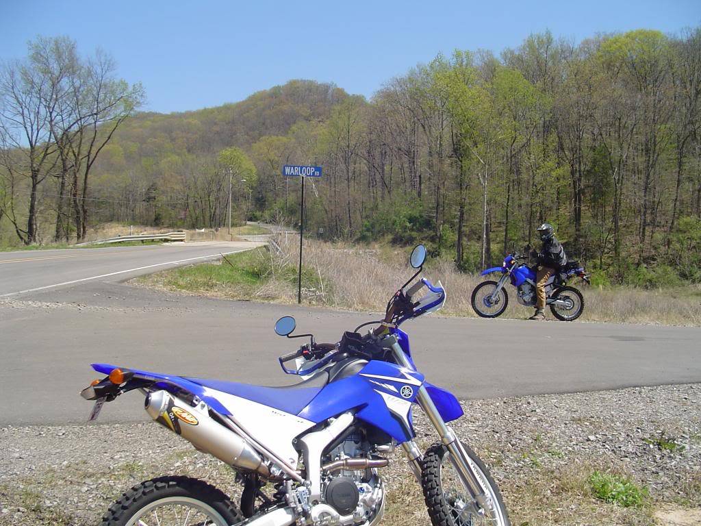
War Loop did deteriorate fast into an unmaintained rocky path, but about 3 miles down it we came up on 2 or 3 guys that were grading the road with a tractor. Maybe they were cleaning up storm debris, but they weren't county workers and there were no houses for miles. There were plenty of "No Trespassing" signs...

Either War Loop Creek or Hurricane Creek, can't remember...
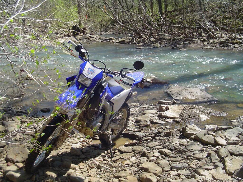
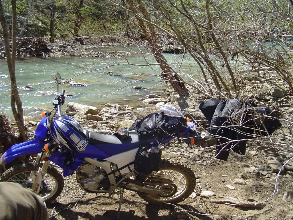
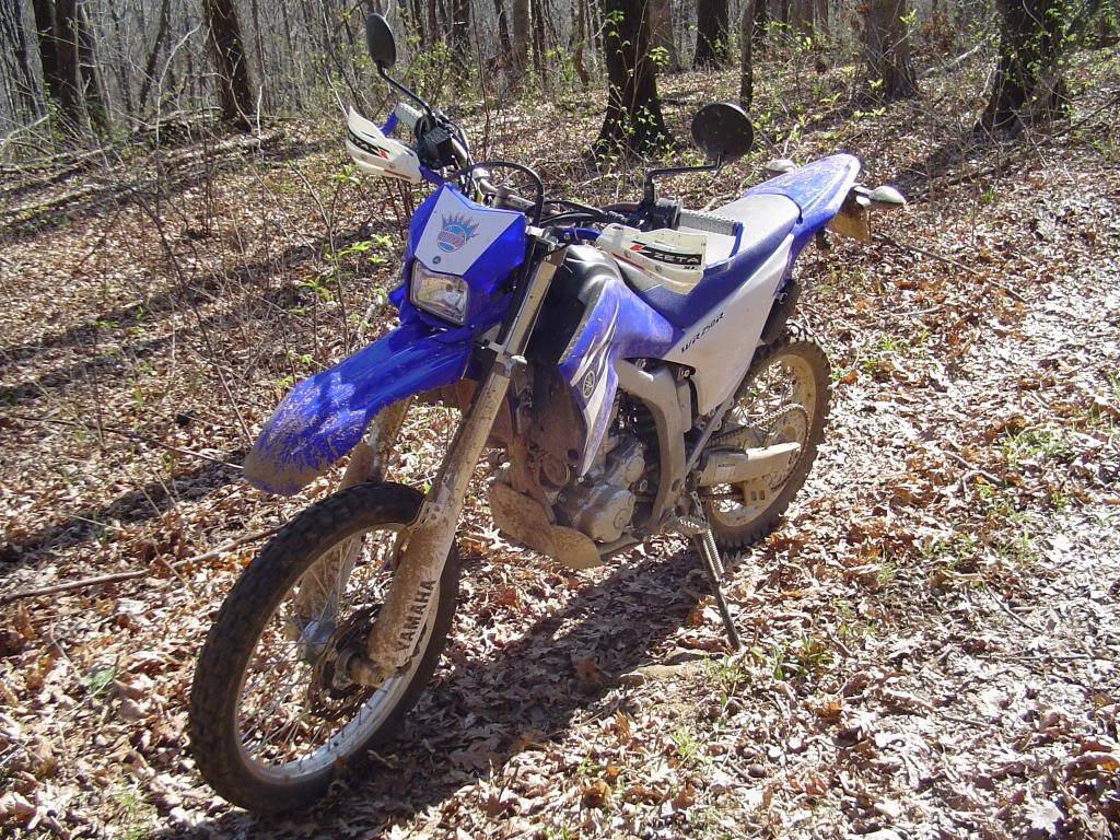
Not so clean now
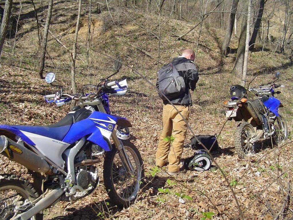
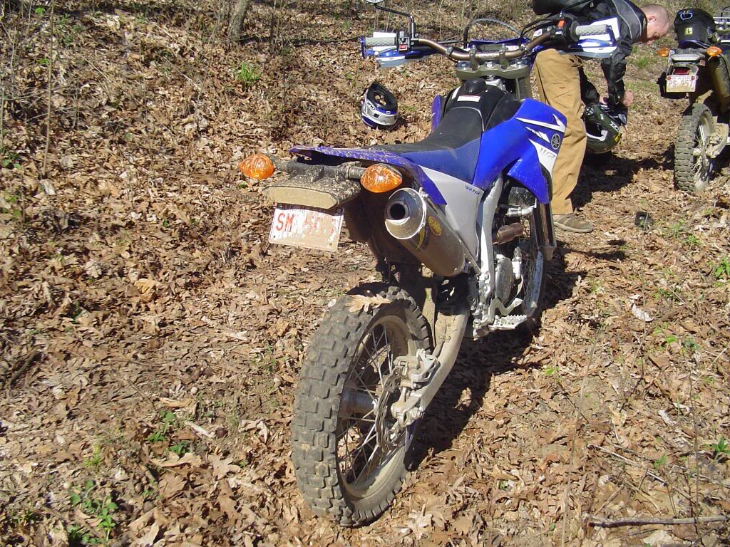
Pete's bike laid down for a nap more than once today. Here he managed to get it picked up before I could dig out my camera.
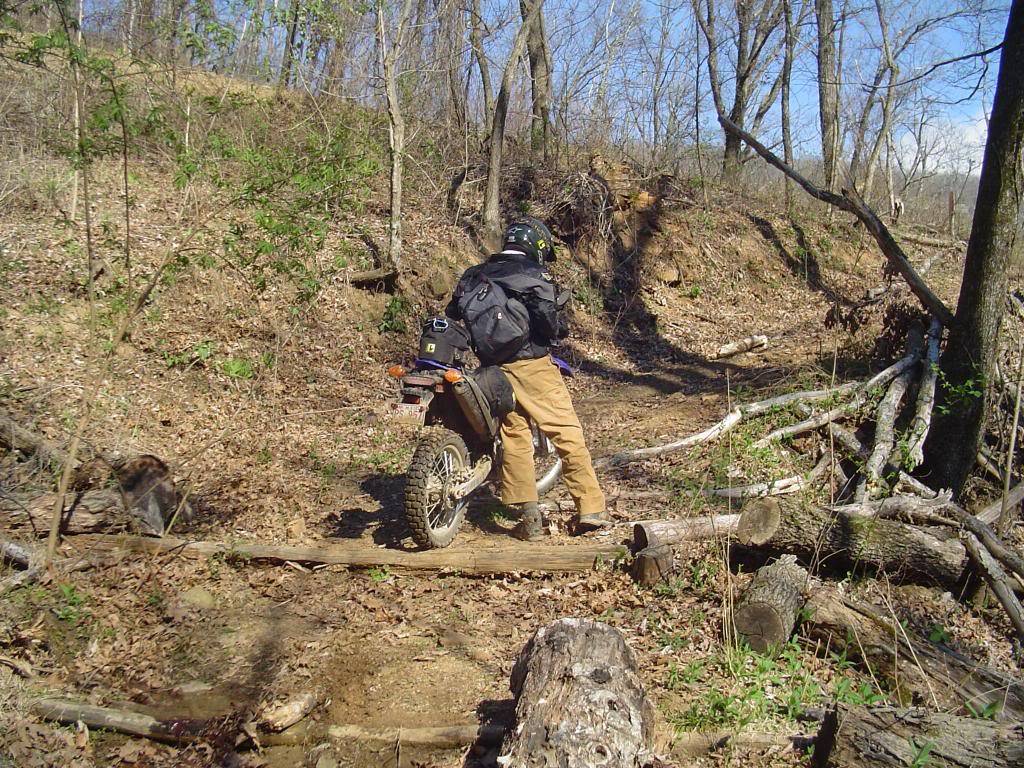
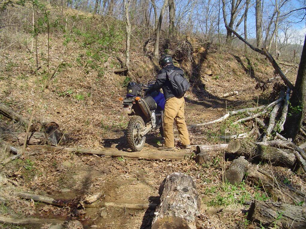
Shortly after that, mine got a little tired

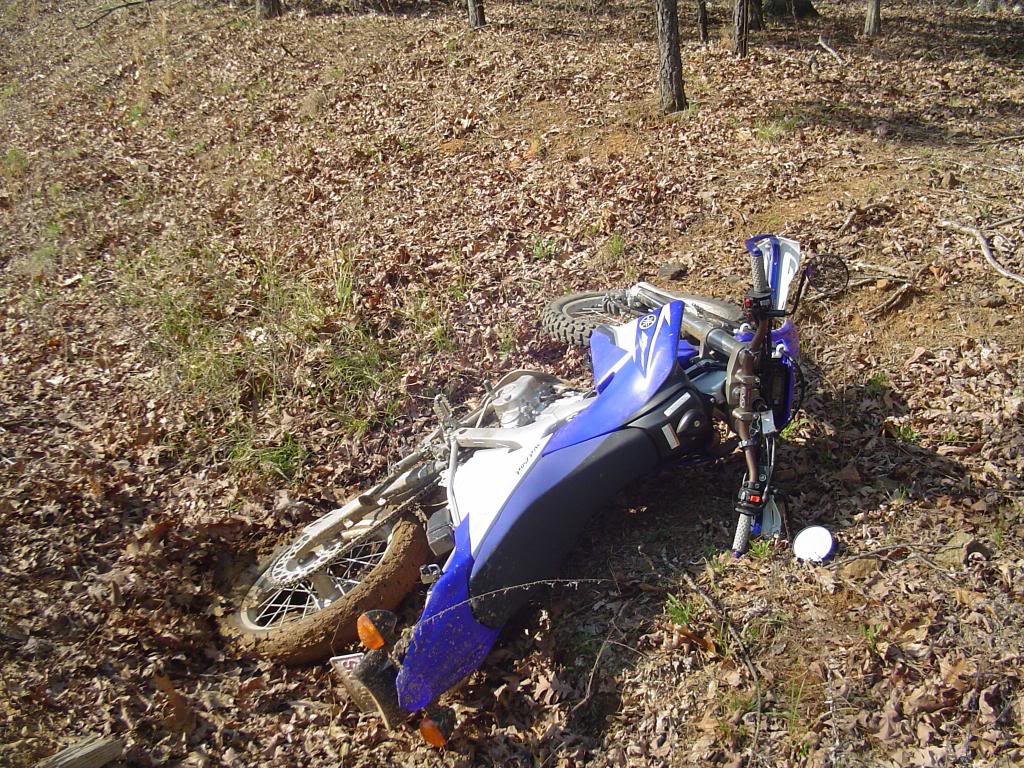
There have been signs posted all over this area warning about some controlled burns, today they were burning.
Thought I took several pictures of this huge valley full of smoke, but I got nothing.
This shot doesn't show much, but it had just been burned and the ground was still hot and smoking.
There were several deer wandering around smoldering stumps with nowhere to hide, look close...

Time for some gas and food, so we find the "Pig Trail" and head to Turner Bend

We cut across Fly Gap on our way back north.

Beautiful views up here.
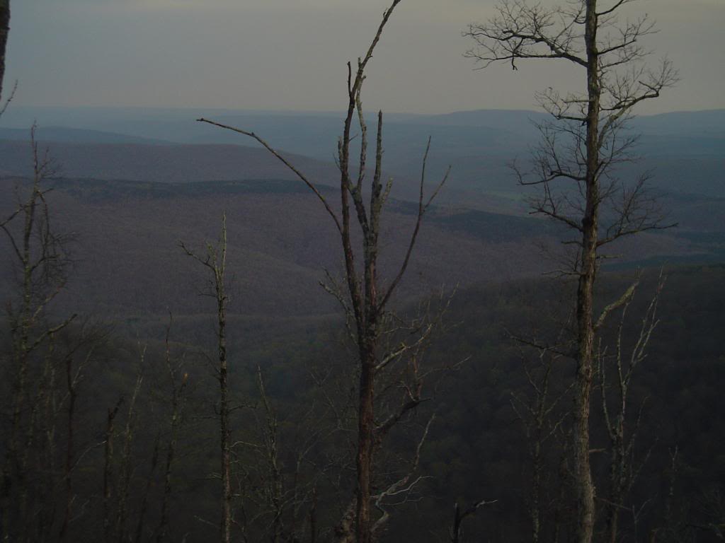
There are trails EVERYWHERE out here. We shot some video with Pete's camera, I hope some of it turns out.

I shot a few videos. Pete Vs. Log is a good one.

Pete Vs. Log
Just Another Trail
