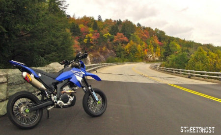
A common cry from Dual Sporters coming through this area, starting about mid-June is "Is Gray Creek Pass open yet"?
I've been travelling what people in the East Kootenays call Redding Creek for about 50 years, and I think the scenery on the journey doesn't match the hype - there is much better dual sporting around here in other nearby areas, in my opinion. However, it is in the back yard of where I grew up, it's a nice ride, and I do it pretty often. And like every year, about mid-June I start getting emails "Hey... you been over Gray Creek yet?".
So having hopefully repaired my wounded WRR, it seemed I could both check out the repairs in some washboard and potholes while checking to see if the Pass was open yet. This has been a big snow year, snow pack here is still about 200% over normal for the last 30 years (thanks to global warming, no doubt), and it was still closed on the last long weekend. But, summer seems to actually have arrived since the long weekend, so who knows? Load the bike up with my stuff, a tank of gas, and off we go.
Leaving town, there's still snow on Bootleg. Doesn't look promising...
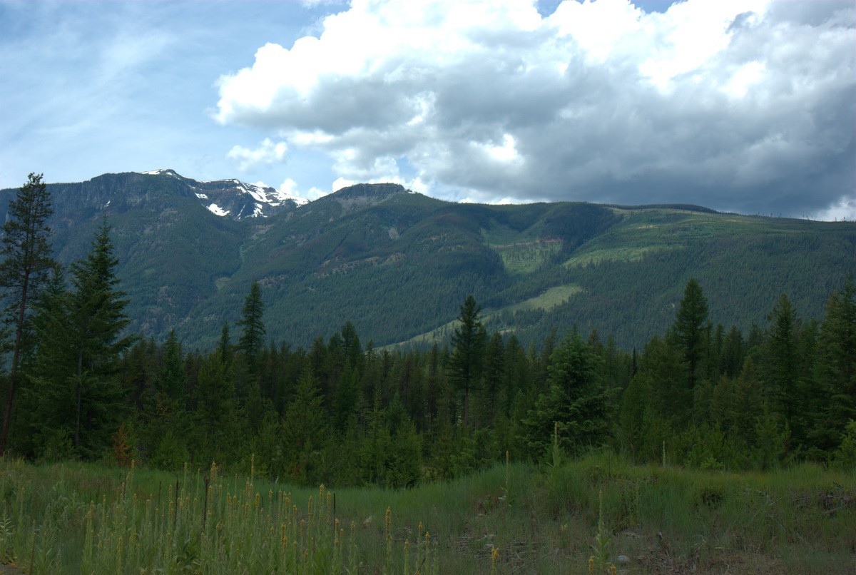
Look at all that damned mullen. When is the province going to start compelling operators to keep their machinery clean when moving it from place to place?
The St Maries is still in flood.

Looks like we're still a ways away from the start of serious flyfishing. And wading the river right now would be an invitation to a little swim in your waders - the river rock here is very slick. But we're not here to fish, so up the St Mary's FSR we go:
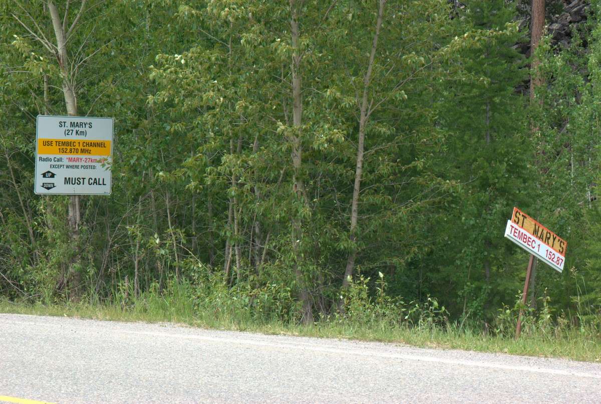
A word about this Forest Service Road. The speed limit is 80 kph. It's used by logging trucks and crummies - usually in a hurry, usually not paying a lot of attention to the speed limit. And then there's the locals who live up here, the guys in their 4x4s, etc. And in places it has lots of nice, twisty corners. Kind of blind corners. Sometimes with rocks or trees across to be found in those blind corners. If you start going like your hair is on fire on this road (or any other like it) you are rolling the dice with your life. You are gambling that you won't end up as a grill ornament for a Kenworth logging truck or a crummy coming the other way, and using most of the road. Or finding a rock or log at chest height across your path. Or a moose standing in the middle of the road. Ride prudently: it might not be as much fun, but it makes the journey pretty safe. If you want to go like your hair is on fire, then of course it is your business. But I go slow and inside on those corners where I have ready access to the bailout lane.
This is, or was, Beemsterboer's place, Sancta Maria farm, about halfway past the lake and the Redding Creek turnoff.

I went to school with their son Jacob; too big to eat hay, and not quite big enough to burn diesel. Used to ride around on a 250 dirt bike of some flavour or other that he made look like he was riding a mini-bike, the way his legs and knees and elbows stuck out to the sides. Very interesting, hardworking people. I assume his folks have passed away by now and I haven't seen a dairy cow in those fields in years. A few times I saw mountain goats grazing in those fields with his dairy cows; wish I had pictures of that.
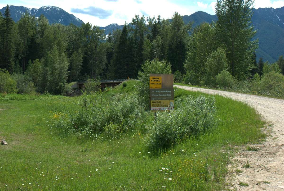
And then the intersection where the Redding FSR turns off the St Mary's FSR. Doesn't look good:

And this doesn't make it look any better. But maybe... the black marker on the sign which you probably can't read refers to slide locations are dated in June. Maybe the Department of Holidays didn't bother to update the signs. By the way, this is a very nice place to camp - if you get here before the regulars.
Looking downstream (left, from previous shot) from the middle of the bridge. Really nice flyfishing water, but because it's right by the bridge it usually gets flogged to death so you have to go a bit upstream or downstream:
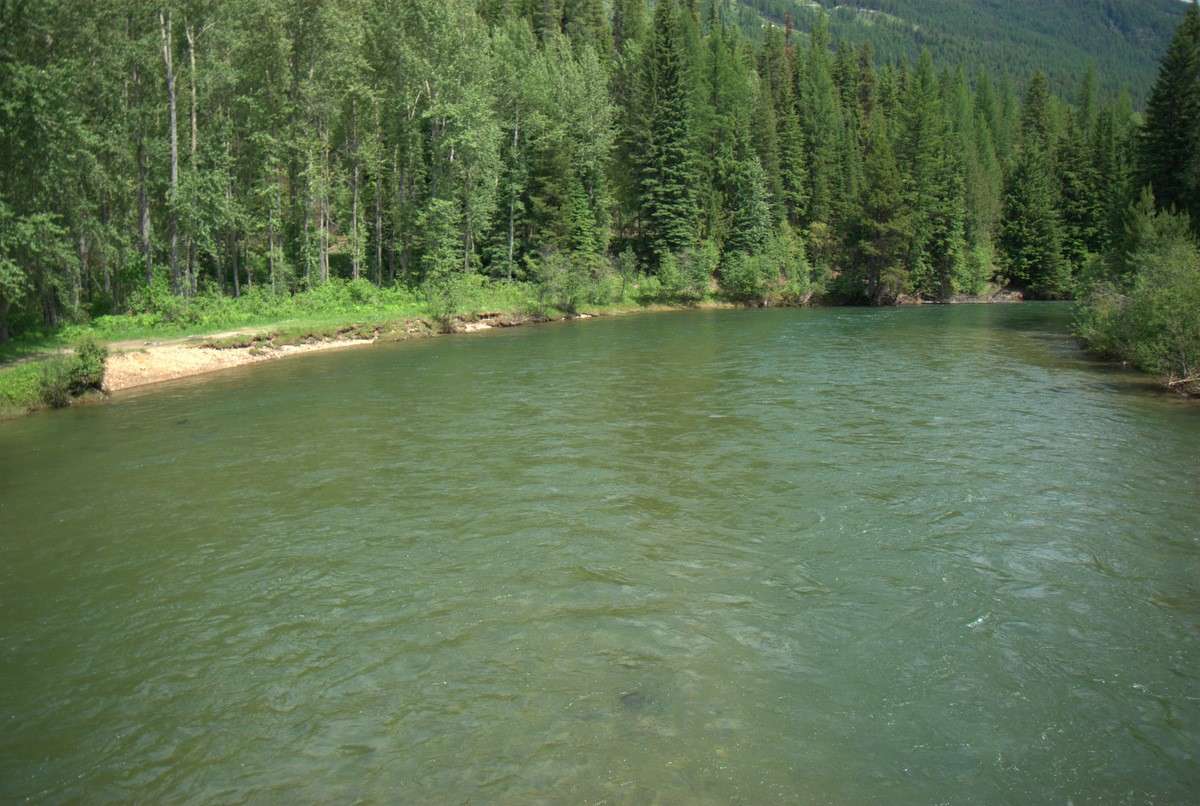
Onward and upward...
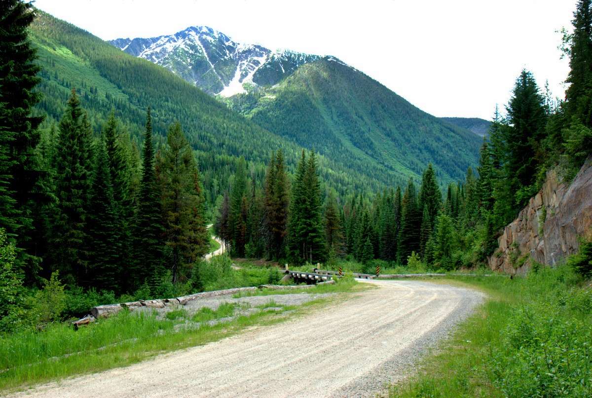
Your last junction on the way to the summit. Turn and stay to the left past the old machine shed and you'll head south into Parker Creek & Baker Lake. Stay right on the most heavily used road and you're on your way over to Gray Creek in the Weird Kootenays.
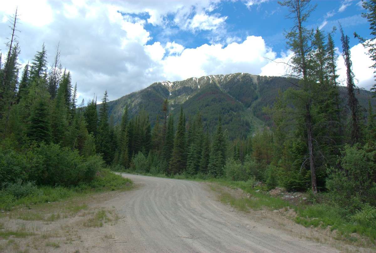
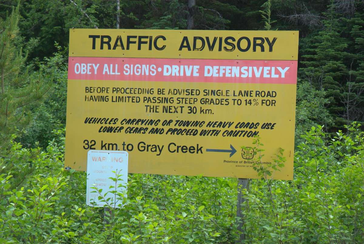
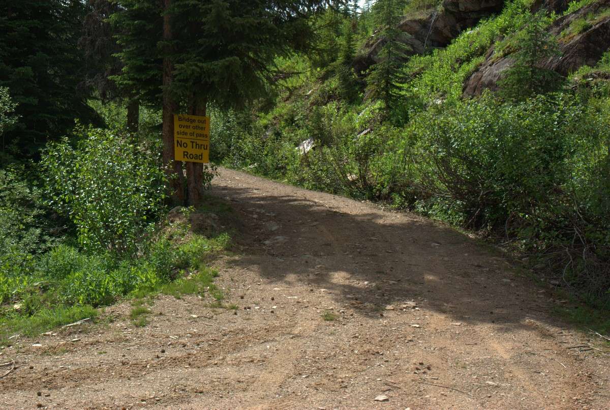
And yes, despite this sign, people can and do regularly tow their long travel trailers over the summit. Including me, once. So the road is actually pretty good, but a 26' trailer coming down the west side will really test your braking system.
Just past Baribeau Creek. Lots and lots of flowing mountain water up here all times of the year. I never carry water up here and drink from the streams without fear or remorse. I'm told I should worry about beaver fever, but I've been doing that for over 50 years now, along with my father and brothers, and none of us have gotten sick yet. I guess I'll just keep on doin' what I'm doin' - or until some asshole gets to run cows up there.
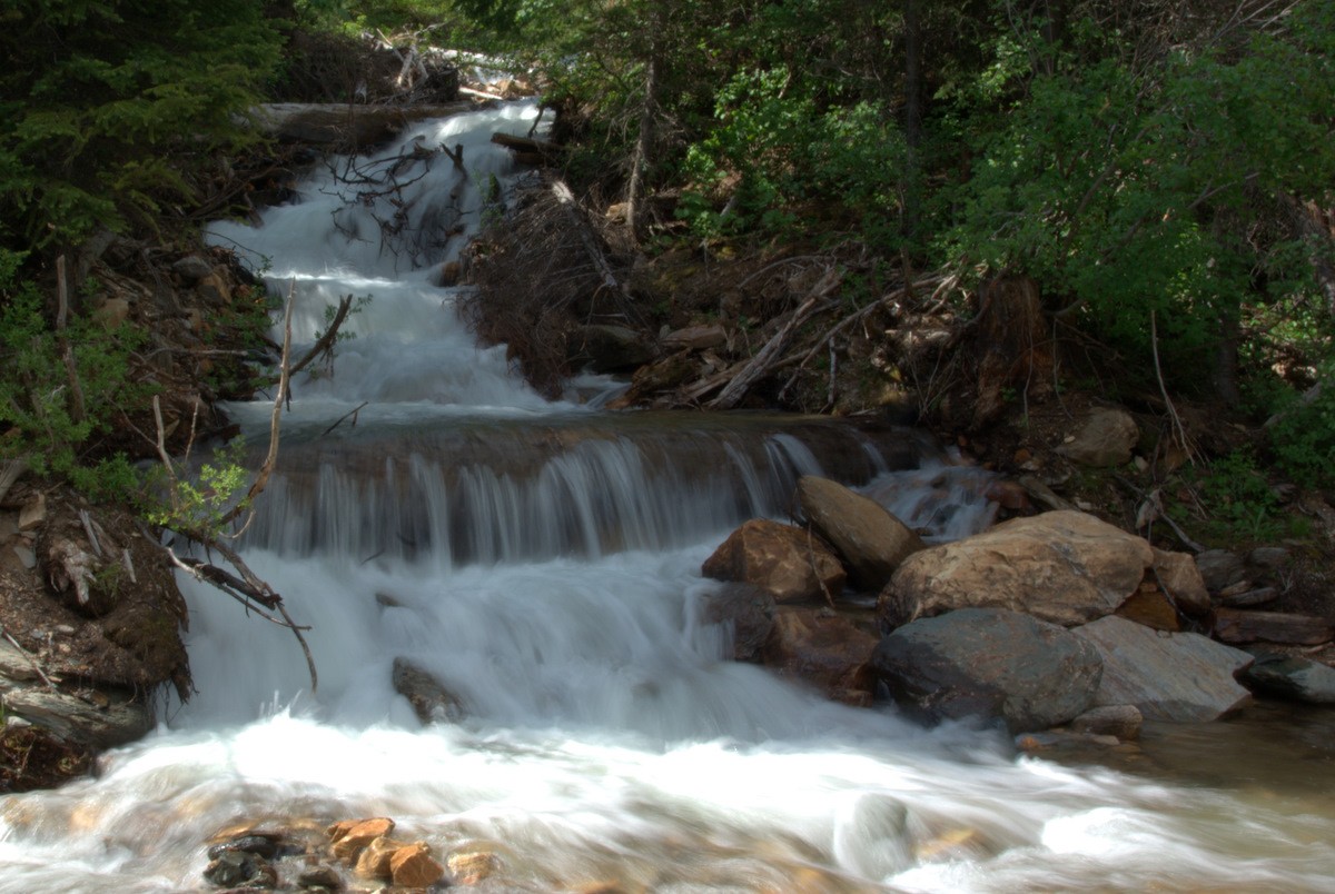
The old powerline road used to be a lower altitude option to get over the pass. It was decommissioned last year and is no longer an option... unless you're particularly gnarly, perhaps.
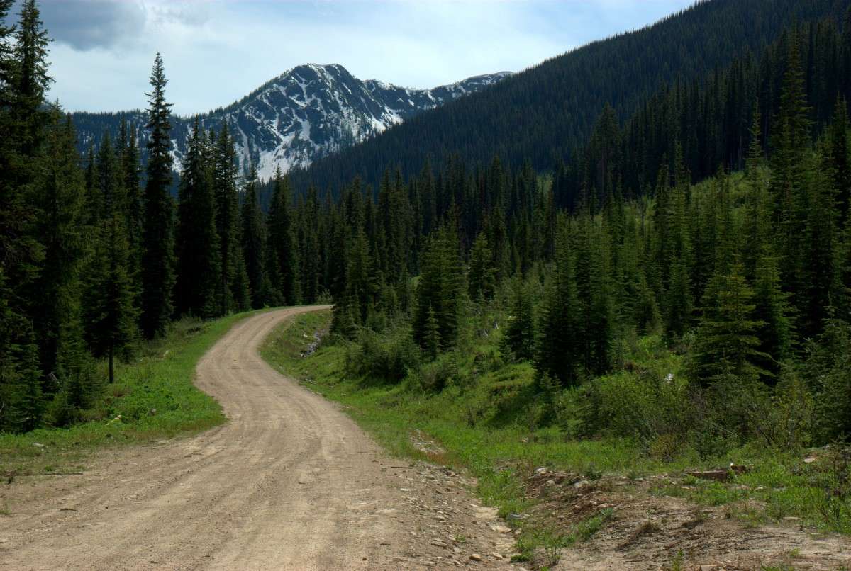
Almost there... the summit is just to the right of that peak.
Well, so much for the pass being open. About a klick short, if that. So close and yet so far.
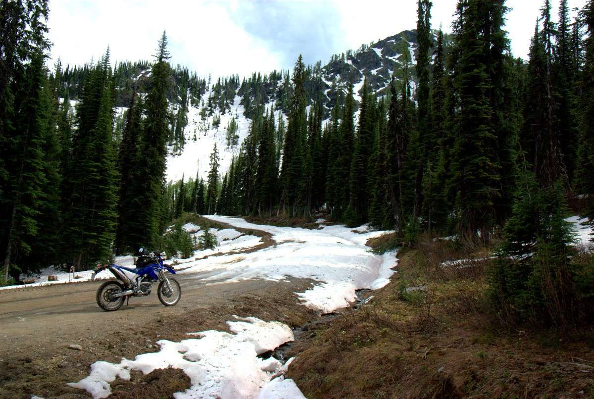
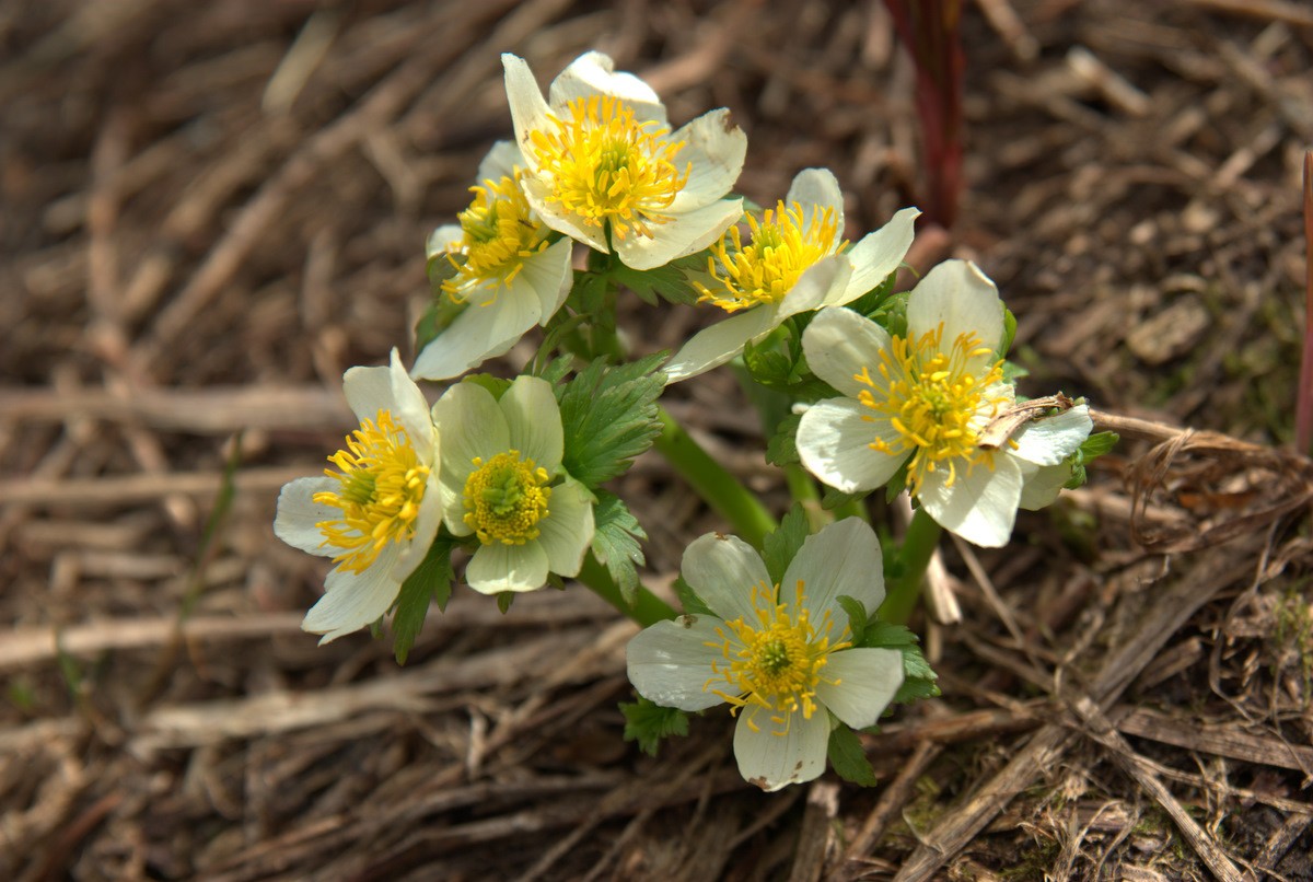
Lots of flowers bursting out right at the snowline:
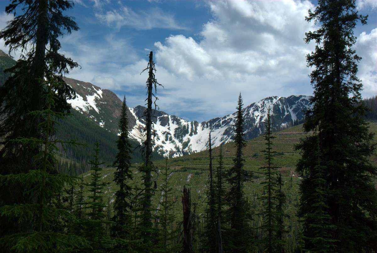
Well, we can poke around a bit on our way out. There's some good riding and views on the east side of the pass. This is just below the gates
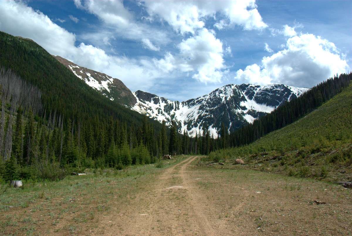
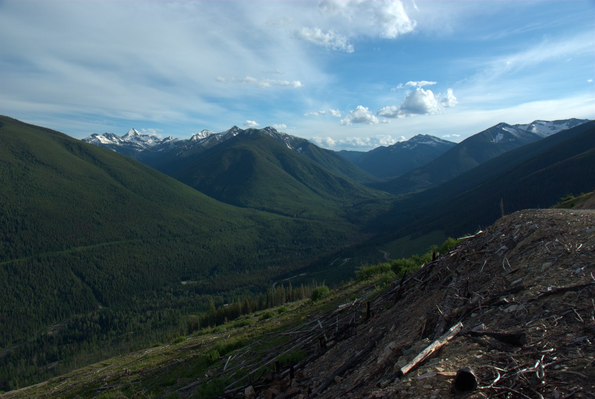
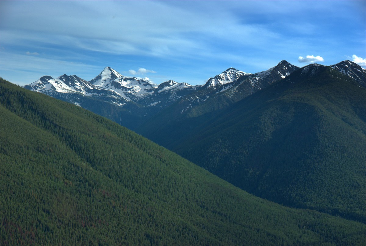
We can head over there to get a closer look of those mountains and look down on the Redding Creek FSR from those cutblocks.
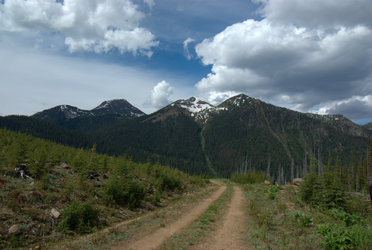
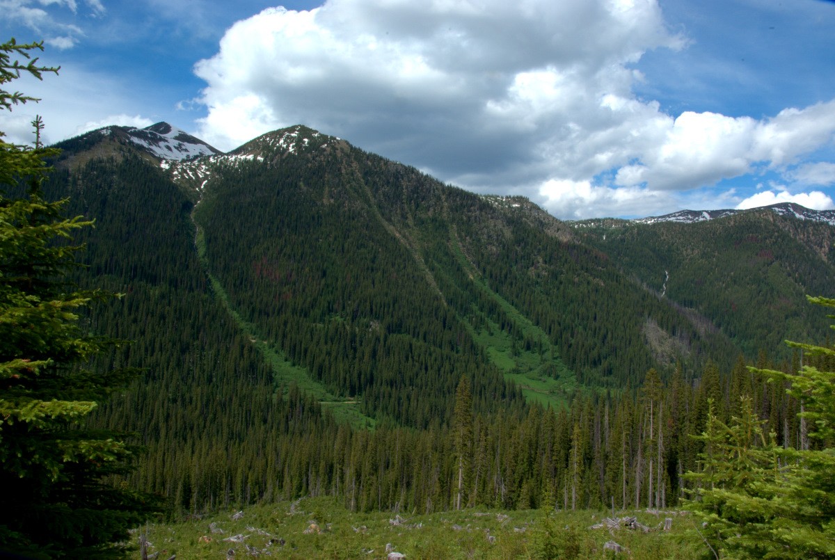
Yeah, so close. The pass is below that notch on the right.
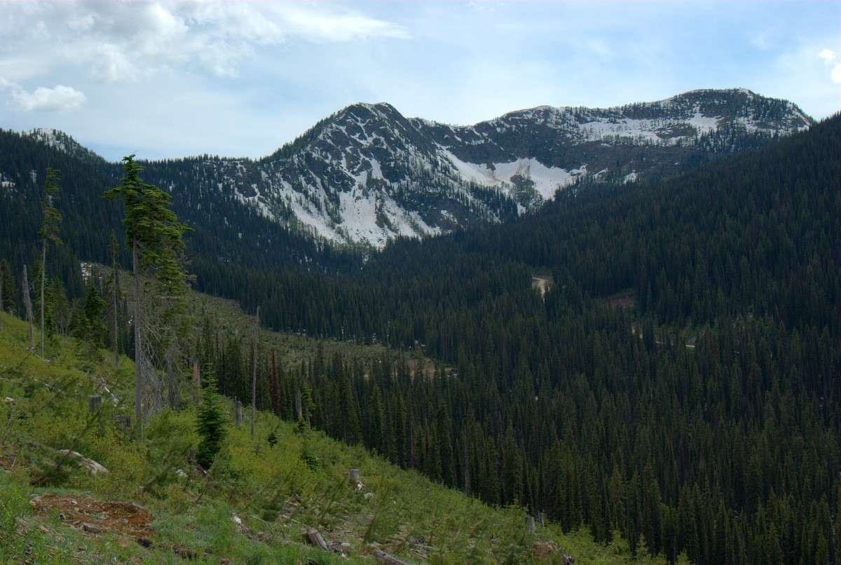
And another view back down the valley we came up.
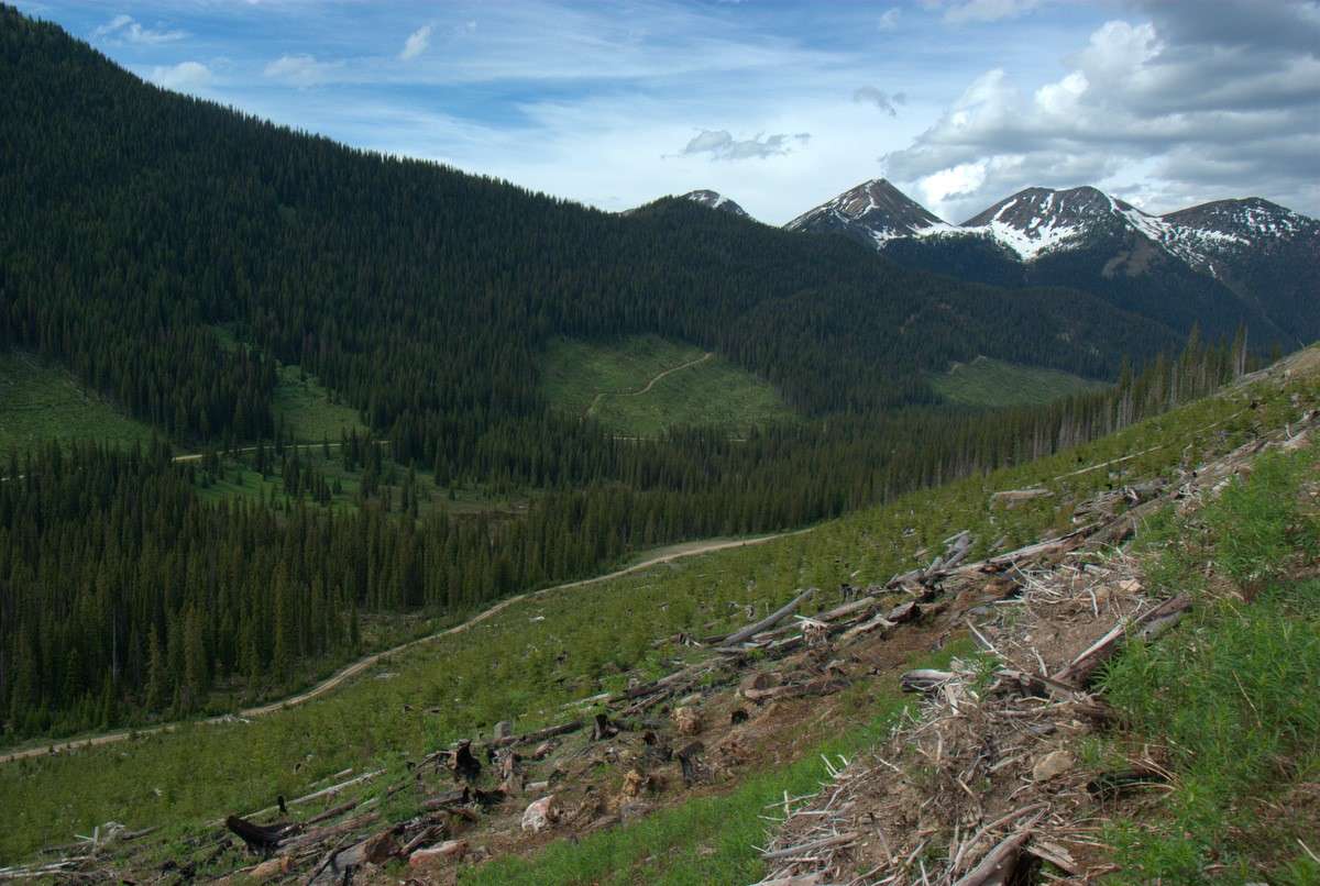
On the way out, I turned in to check out routes leading towards Baker Lake and Parker Creek. BIG wolf tracks, and nice to see big mud puddles with lots of tadpoles in them. Frogs have been getting more and more scarce around here lately, and there is some sort of disease going around that is killing them off, so good to see apparently healthy populations. But Baker Lake got gnarly... more gnarly than a single older guy well back in the sticks wanted to try by himself. It's a long walk out...
And the other fork leading up Parker Creek (I think)... well... when you're pushing alders, lose your balance, bail off - and your bike doesn't fall all the way to the ground... The alders are trying to tell you something. This was the "light" version of the alders. The heavy stuff, you would have just got a picture of green. Being smarter than when I was a kid, I turned around about here... because it was the first "open" spot I had seen in a while and might have been my last chance.

Wasn't all alders; the first parts were quite open. Looks like a good place to go bowhunting for a bull elk next September.

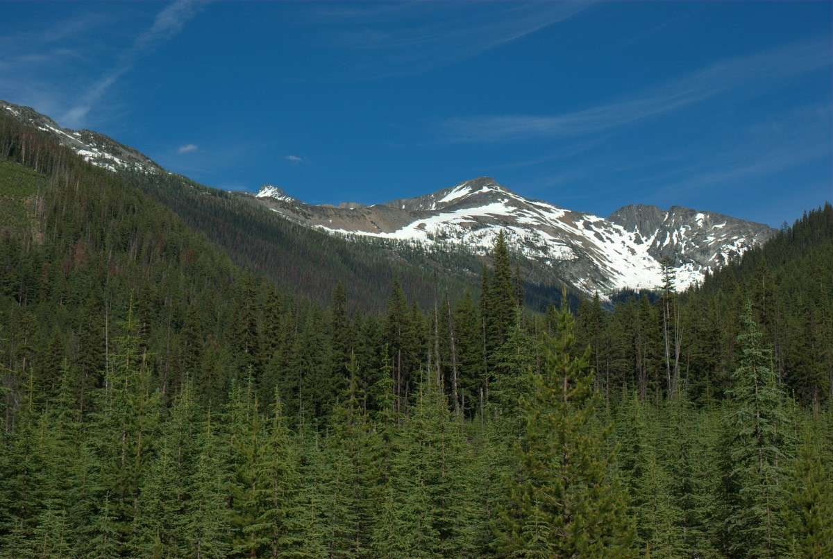
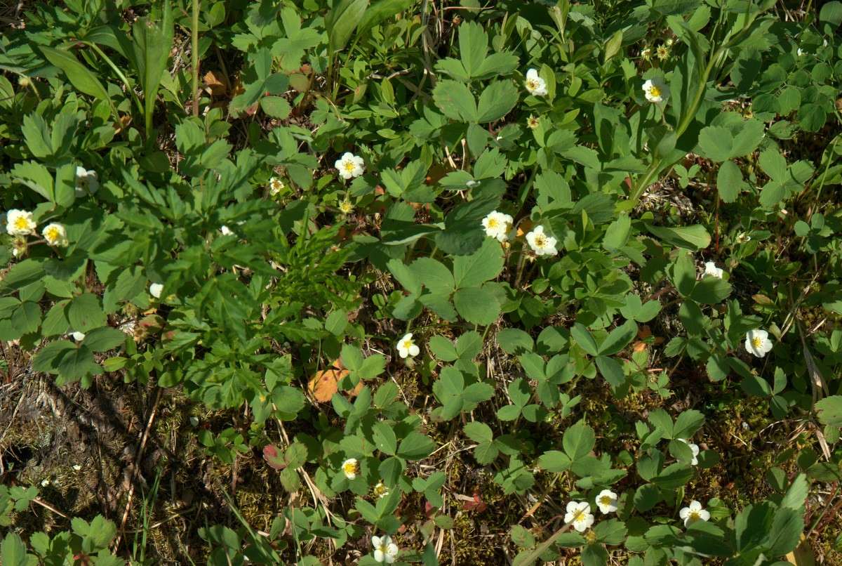
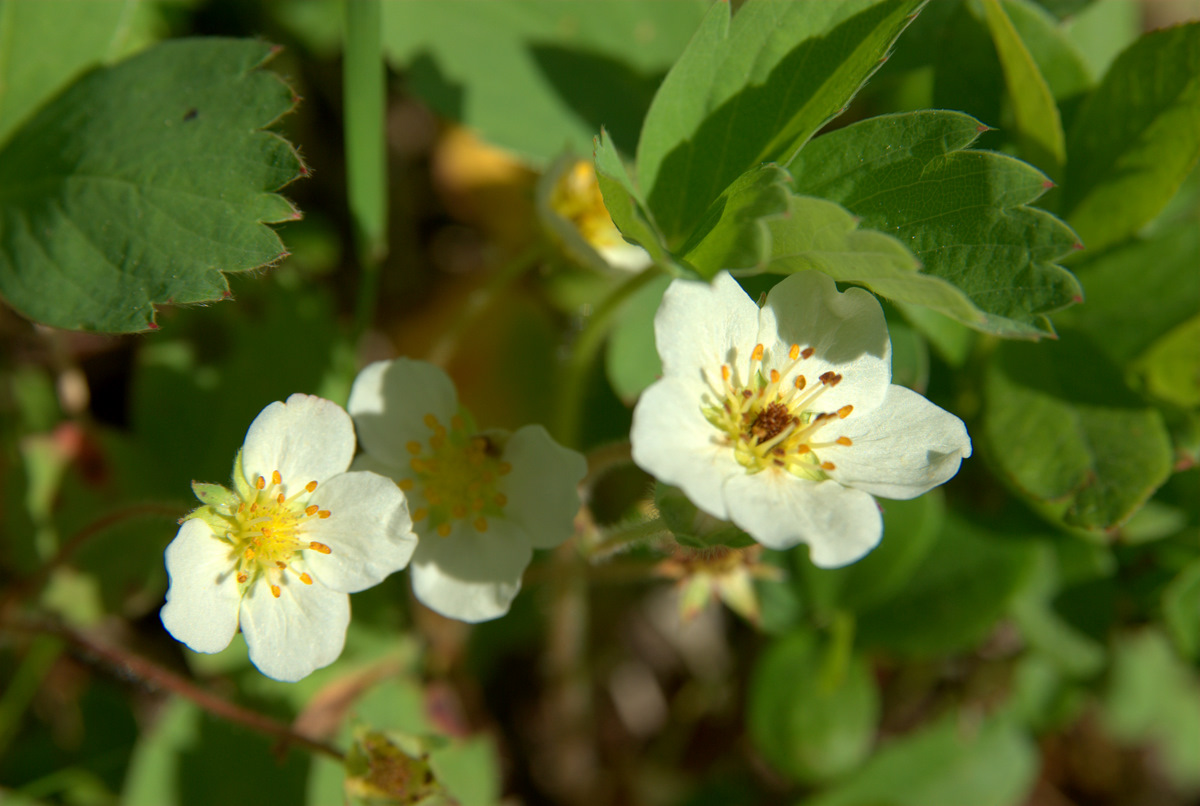
Carpets of wild strawberries just getting started - they're everywhere!
Nearly back to Beemsterboer's on the way back out, Rayvn Ridge FSR heads off to the left. It will provide views of the Hall Mountain comms site, another ride, across the river valley, as well as a view up and down the St Mary's River valley:
Down back towards St. Maries Lake:
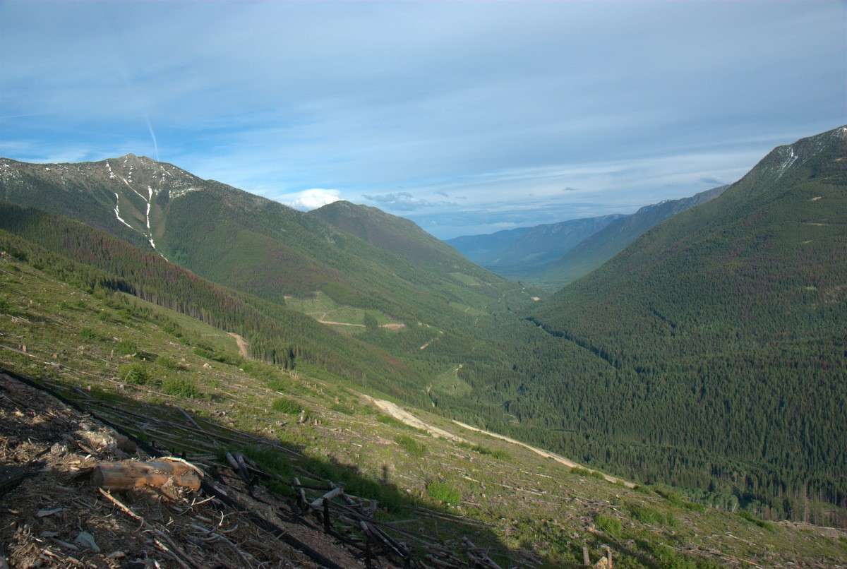
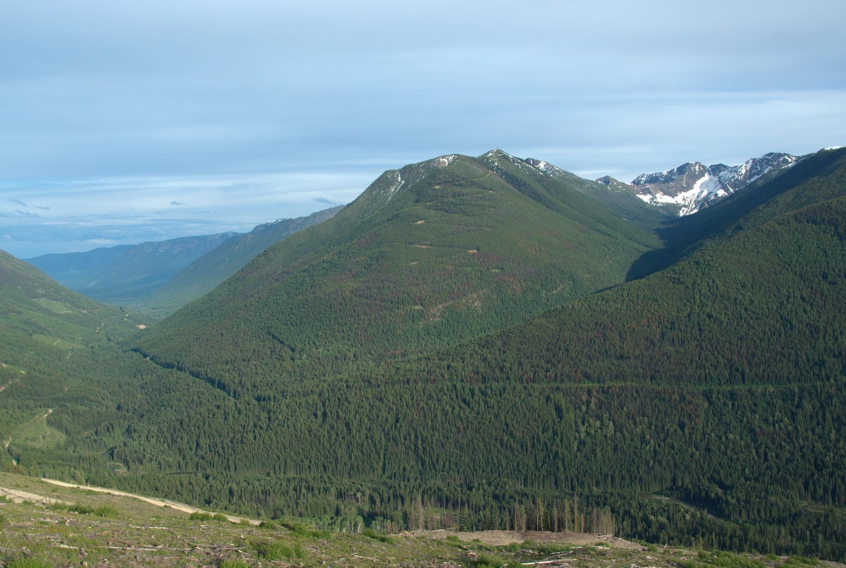
Notice the pine beetle kill? Don't know what kind of comms equipment that big black obelisk is on the top.
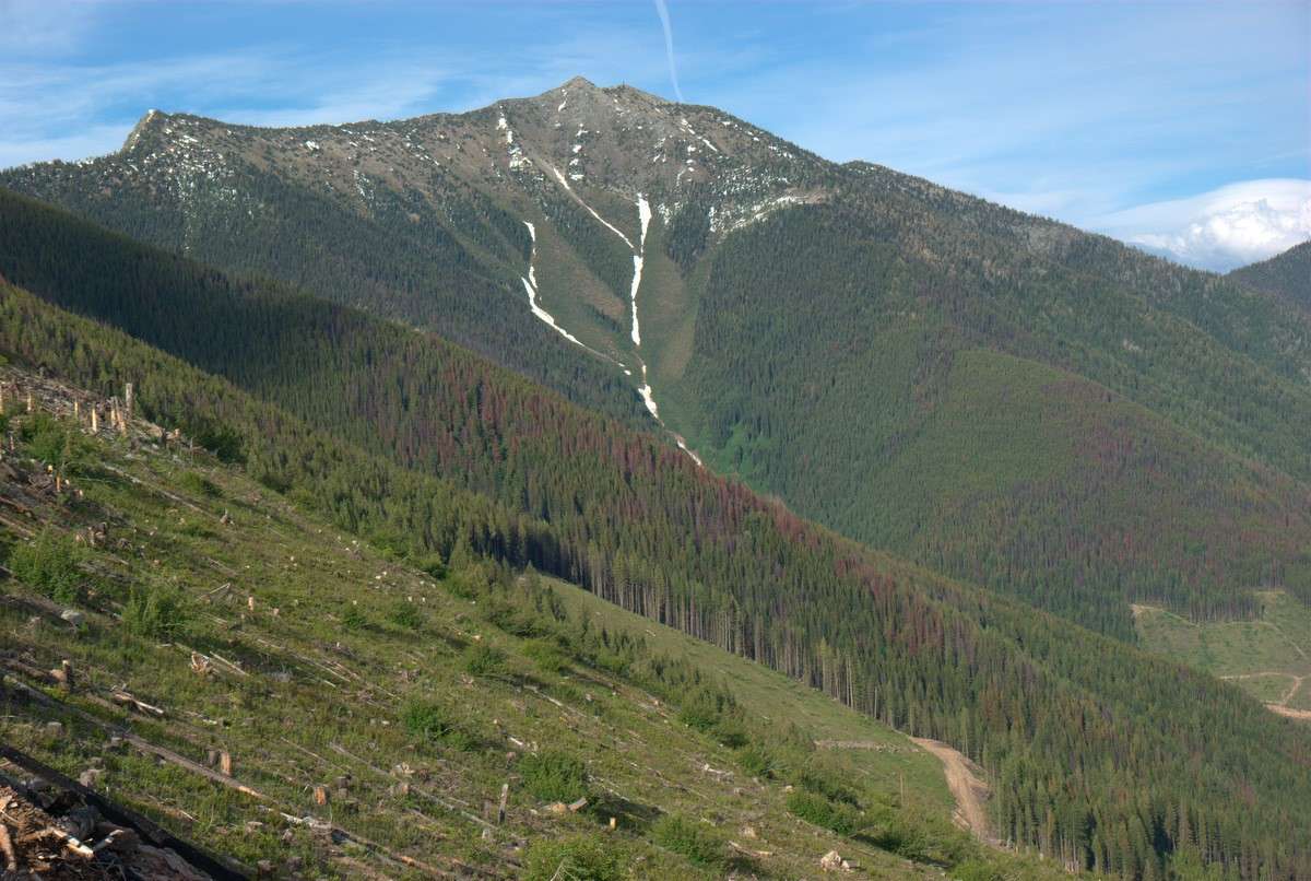
And then back up towards the pass...
And directly across from Rayvn Ridge road, Hall Mountain; you have to drive up towards Gray Creek and then come back as the shorter route road is now impassible (I think). I think I have that route at DualSportMaps.com by now; if not, I'll try and remember to add it. I like to throw some hiking stuff on the bike, ride up Hall Mountain early, and then get in a day of ridgetop hiking.

Once down to the main FSR again, and I was soon back at St Mary's Lake:

And... I was home before dark!
